, This Is An 18th-century Style Engraved Map Labeled Year Of...
Category: General | Model: Stable Diffusion
, This Is An 18th-century Style Engraved Map Labeled Year Of...
Prompt Text
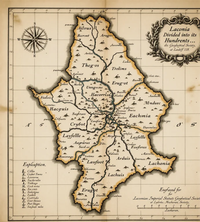
, This is an 18th-century style engraved map (labeled year of Landolf 18) depicting Therum and surrounding counties (Argos, Layfelle, Erugot, Tithim, Laconia). It divides the region into "hundreds," labels key towns, market towns, boroughs, and post stages, features a compass rose, grid lines, and a Laconian Imperial statute miles scale, and was engraved for *Laconian Imperial Geological Society*. Subject: (The central subject is a historical map printed on aged, off-white paper with black ink. It is rectangular and two - dimensional, displaying geographical boundaries of counties (Argos, Layfelle, Erugot, etc.), labeled towns, grid lines, a compass rose, and a scale bar. Its form is flat and printed, with the paper showing signs of aging (e.g., slight discoloration). Color-wise, it features a beige - toned background with black ink for text and geographic markings. The map is an 18th - century artifact style, as indicated by the text "Engraved for the Laconian Imperial Geological Society; for Landen Meruvan at Sosharan, La18." (Note: There is no person present as the core subject; the map itself is the central element.)) Environment: (The environment depicted is an antique printed map of the Laconian Midlands, showing regions including Therum, Argos, Layfelle, Erugot, Tithim, Laconia, and Sosharan. It features vintage cartographic elements: grid lines (latitude/longitude), a compass rose, textual labels for towns (e.g., Cille, Therum), hundreds (administrative divisions), and rivers (e.g., Galdot, Undinia). The map is rendered in sepia-toned ink on aged paper, with ornate text and a decorative title box indicating its historical context (engraved for *Laconian Imperial Geological Society*, Landolf 18). The setting conveys a 18th-century style geographic and administrative landscape, emphasizing topography, settlement patterns, and regional boundaries.) Camera: (The image is a flat printed map, so the camera is positioned **directly overhead** in a **top-down (orthogonal) perspective**, capturing the map's surface without any tilt, angle, or perspective distortion. This is a standard bird’s-eye view for maps, with the camera aligned parallel to the map’s plane.) Lighting: (The lighting in the image is even and diffused, with uniform illumination across the map. There are no harsh shadows, bright highlights, or areas of uneven brightness; the paper’s aged yellowed tone is consistently lit, allowing clear visibility of all map details without glare or overexposure. The illumination appears ambient and controlled, typical of archival or museum display settings.) Objects: (- Circular compass rose with cardinal directions (N/S/E/W) on the left edge. - Ornate scrollwork emblem containing text ("Laconia Divided into its Hundreds...") in the upper right. - Latitude/longitude grid lines (with degree markers: 74°–93° vertically, 7°–9° horizontally). - Scale bar labeled " Laconian Imperial Statute Miles" (bottom right, 0–4 numerical markers). - "Explanation" text block (left side, listing symbols for "Borough Towns" (B), "Market Towns" (M), "Post Stages" (P)). - Alphabetical "Hundreds" list (left side, A–F with names like "Invus," "Frois"). - Rectangular border framing the entire map. - Engraver credit text ("Engraved for *Laconian Imperial Geological Society*, Landolf 18") at the bottom.) Style: (18th-century British hand-engraved map style, characterized by ornate title cartouche with floral embellishments, geographic grid lines for latitude/longitude, monochromatic ink on aged paper, and period-specific serif typography with decorative flourishes typical of Enlightenment-era topographic prints.)